News Summary
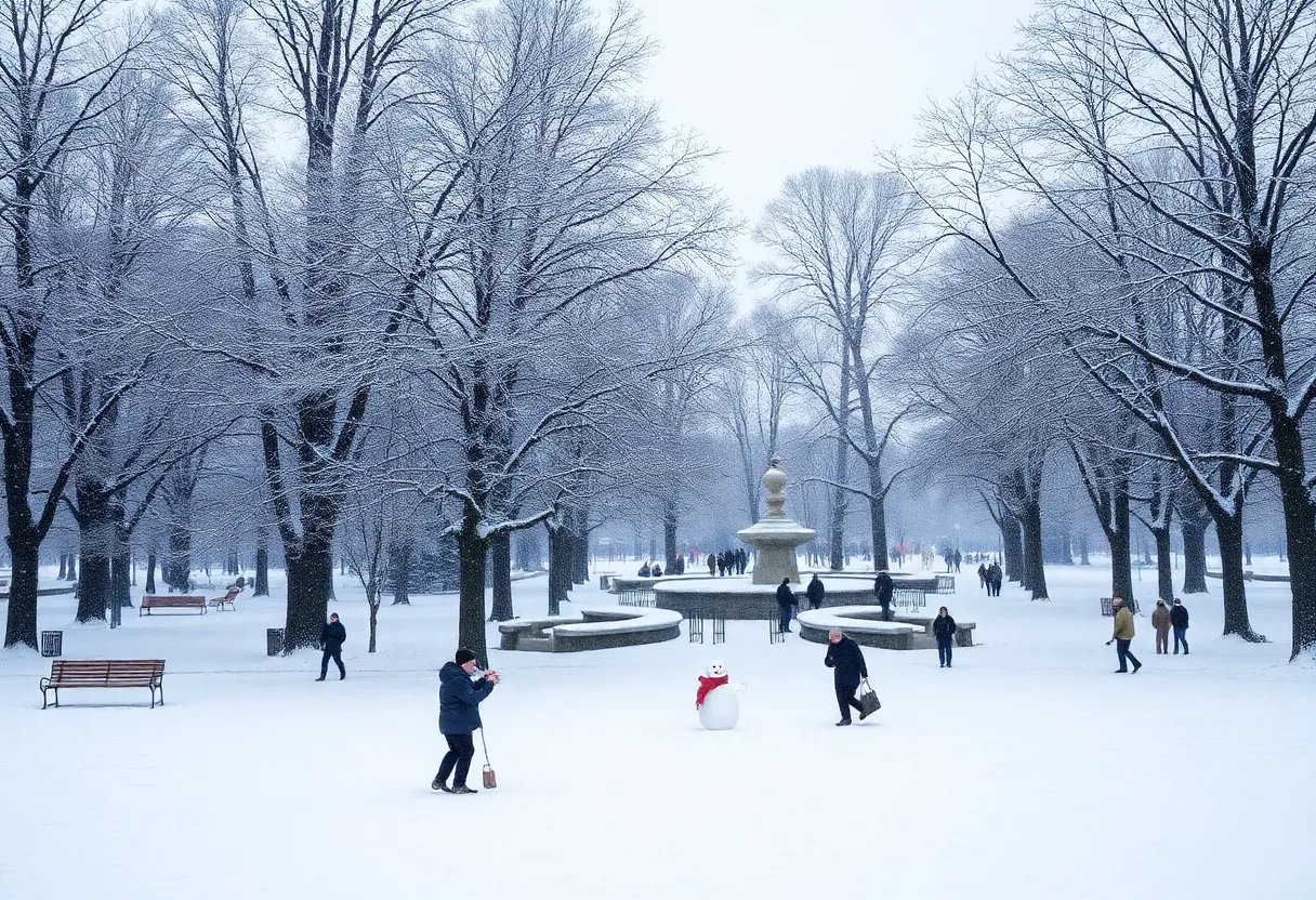
Columbia is gearing up for a chance of snowfall starting Friday night, potentially lasting through Saturday morning. The National Weather Service is monitoring conditions, suggesting temperatures could drop low enough for rain to turn into snow. While significant accumulation is uncertain, this could be the first noteworthy snowfall since January 2022. Residents are advised to be cautious of ice and blustery winds, as a wind advisory is in effect. Meanwhile, neighboring counties may experience heavier wintry conditions, making this a weekend to watch closely.
Columbia Prepares for Potential Weekend Snowfall!
Hey there, Columbia! Buckle up and grab your hot chocolate, because it looks like we might be in for a snowy surprise this weekend. The weather forecast is hinting at some snow flurries hitting our area, especially starting Friday night and potentially lasting into Saturday morning. How exciting is that?
What to Expect
The National Weather Service has been keeping a close eye on things, and reports indicate that temperatures could drop enough for some of that anticipated rain to actually fall as snow. Yep, you heard that right – it’s not just wishful thinking this time! If conditions are right, we might see more than a few flurries.
Should we wake up to a white winter wonderland on Saturday, it could mark the first significant snow accumulation we’ve seen since January 2022. Remember that winter storm? It was the last time we had a decent snowfall here, recording between 1 and 3 inches. Before that storm, we hadn’t seen measurable snow in Columbia since 2017, making snow a rare treat in our neck of the woods.
Forecast Uncertainty
Now, before you start planning your snowman-building contest, there are a few uncertainties to consider. Current forecasts aren’t entirely sure just how much snow might accumulate overnight on Friday. It’s possible that if snow does show up, it might quickly change back to rain, meaning we shouldn’t expect a massive blanket of snow sticking around for too long.
One point to keep in mind: if rain falls, there’s a chance of black ice forming on the roads. So, if you plan to head out this weekend, be careful and take it easy. The South Carolina Department of Transportation is already preparing for the possible slippery conditions by treating roads with salt brine.
Temperatures and Weekend Outlook
As for temperatures, Friday night is projected to drop into the low 30s, making it a chilly evening. We can expect rain to start creeping in, with forecasts suggesting a mix of rain and snow as the night progresses. Things should warm up slightly by Saturday afternoon, with temperatures rising into the brisk 40s.
Don’t get too comfy, though! Saturday night could see temperatures plummeting to a low of 27 degrees, keeping things frosty. In fact, leading up to Friday, nights will be consistently cold with lows hanging around the mid-20s this week.
Wind Advisory Alert!
Also, don’t forget about the wind! A wind advisory has been issued for Richland and Lexington counties, running from 6 a.m. to 7 p.m. Winds could be gusting over 40 mph – which could potentially cause some trouble with power lines and downed trees. So, keep an eye out and make sure you’re prepared for some blustery conditions!
Keeping an Eye on Other Areas
Meanwhile, as we look around the state, there is a chance of a wintry mix, especially in the more northern counties, where there might be localized greater accumulations. So, while Columbia might be in for a light dusting to an inch, our neighbors to the north could really get a winter surprise!
While snow is indeed rare in the Midlands, the prospect of the third snowstorm in 2025 is keeping us all on our toes. So, Columbia, keep your shovels handy and your spirits high, because you never know what the weekend might bring!
Deeper Dive: News & Info About This Topic
- The State
- WYFF4
- WISTV
- WLTX
- The State
- Wikipedia: Weather
- Google Search: South Carolina weather news
- Google Scholar: Weather patterns in South Carolina
- Encyclopedia Britannica: Weather
- Google News: South Carolina weather

Author: STAFF HERE CHARLESTON
The CHARLESTON STAFF WRITER represents the experienced team at HEREcharleston.com, your go-to source for actionable local news and information in Charleston, Charleston County, and beyond. Specializing in "news you can use," we cover essential topics like product reviews for personal and business needs, local business directories, politics, real estate trends, neighborhood insights, and state news affecting the area—with deep expertise drawn from years of dedicated reporting and strong community input, including local press releases and business updates. We deliver top reporting on high-value events such as the Spoleto Festival USA, Charleston Wine + Food Festival, and the MOJA Festival. Our coverage extends to key organizations like the Charleston Metro Chamber of Commerce and the Charleston Museum, plus leading businesses in tourism and maritime industries that power the local economy such as South Carolina Ports Authority and the Charleston Visitor Center. As part of the broader HERE network, including HEREaiken.com, HEREbeaufort.com, HEREchapin.com, HEREcharleston.com, HEREclinton.com, HEREcolumbia.com, HEREgeorgetown.com, HEREgreenwood.com, HEREgreenville.com, HEREhiltonhead.com, HEREirmo.com, HEREmyrtlebeach.com, HEREnewberry.com, HERErockhill.com, HEREspartanburg.com, HEREaustin.com, HEREcollegestation.com, HEREdallas.com, HEREhouston.com, and HEREsanantonio.com, we provide comprehensive, credible insights into South Carolina's dynamic landscape.